Discover the breathtaking beauty of the Mosier Twin Tunnels Hike, an easy, accessible 1.1 mile stroll that offers stunning views of the Columbia River Gorge.
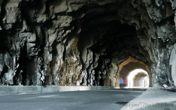
We decided to wrap up our Valentine's weekend trip in Hood River by stretching our winter-weary hiking legs with a trip up to see the historic Twin Tunnels just west of Mosier, Oregon. Really more of a stroll than a hike, this short 1.1 mile jaunt (one way, from the Mosier-side trail-head) offers some fabulous views of the Columbia River Gorge.
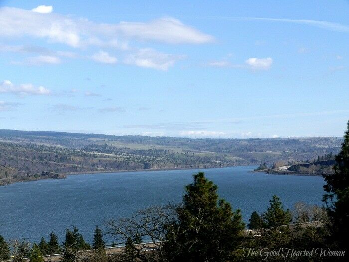
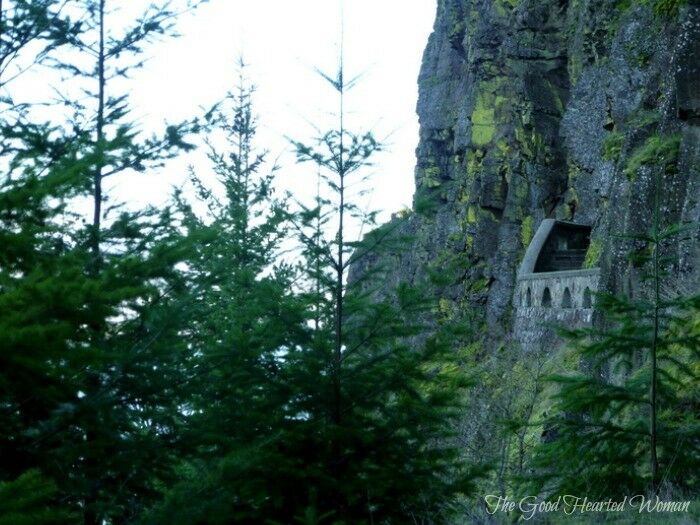
Once an important link in the scenic Columbia River Highway, the Mosier Twin Tunnels were constructed between 1919 and 1921. From the beginning, the tunnels and the nearby cliffs presented a trouble spot on the historic highway: rockfalls were common and accidents happened frequently. Eventually abandoned in 1955 after the completion of Highway I-84, the tunnels were soon filled in with rubble and forgotten.
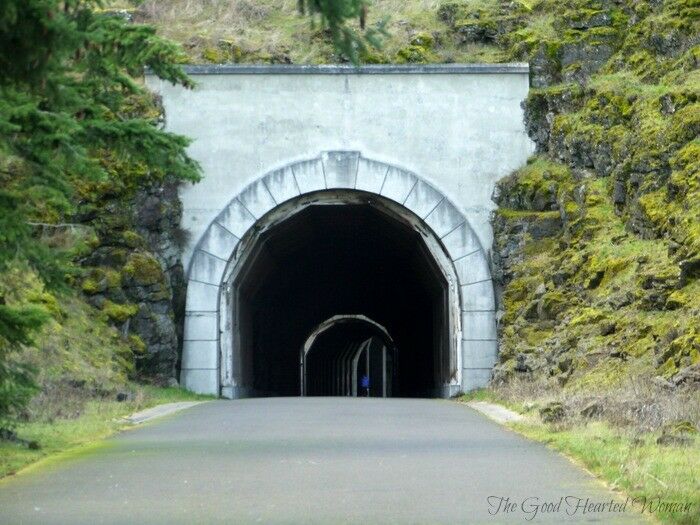
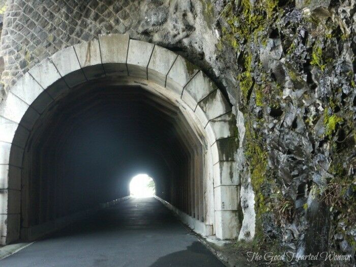
Then, in the 1980's, interest in restoring the old historic highway began to develop. In 1995, with help of longtime Oregon Senator Mark Hatfield, work was begun to reopen the tunnels for tourist use. Rubble was removed from inside the tunnels, the walls were rebuilt, and the road was completely resurfaced.
The twin tunnels were reopened in July 2000 for bicycle and foot traffic, and are now part of the 4.6-mile-long "Historic Columbia River Highway State Trail."
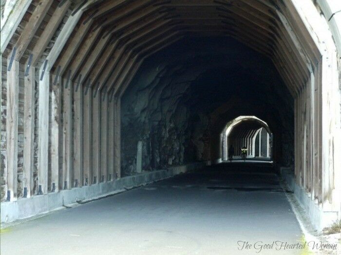
The hike itself is mostly flat, with just a slight elevation change, and paved, making it a smooth ride for cyclists and wheelchair hikers.
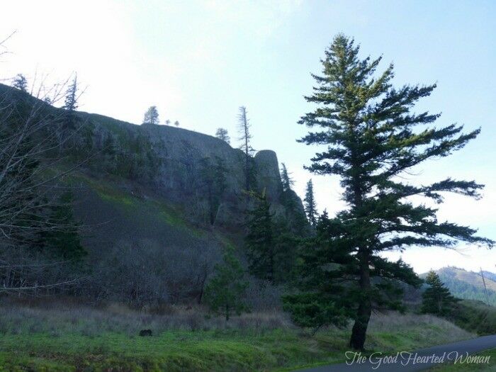
I don't know if it is always this way, but on the day we went, cyclists outnumbered walkers nealry two to one.
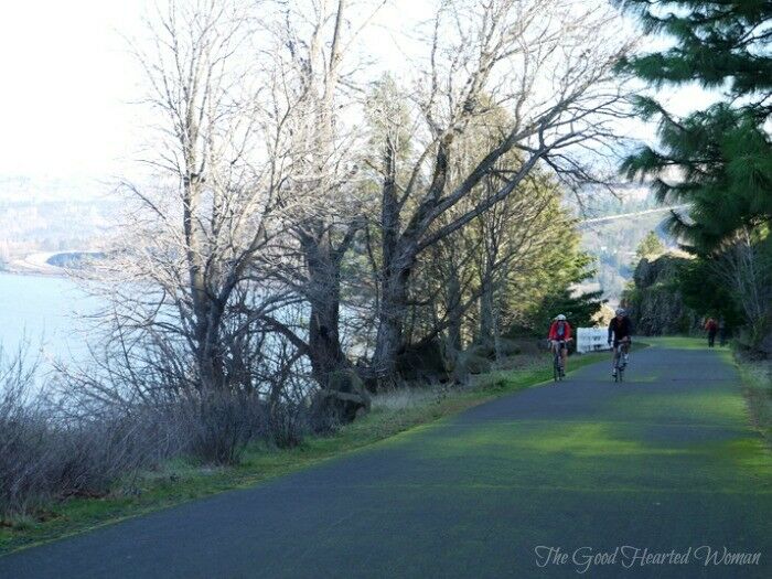
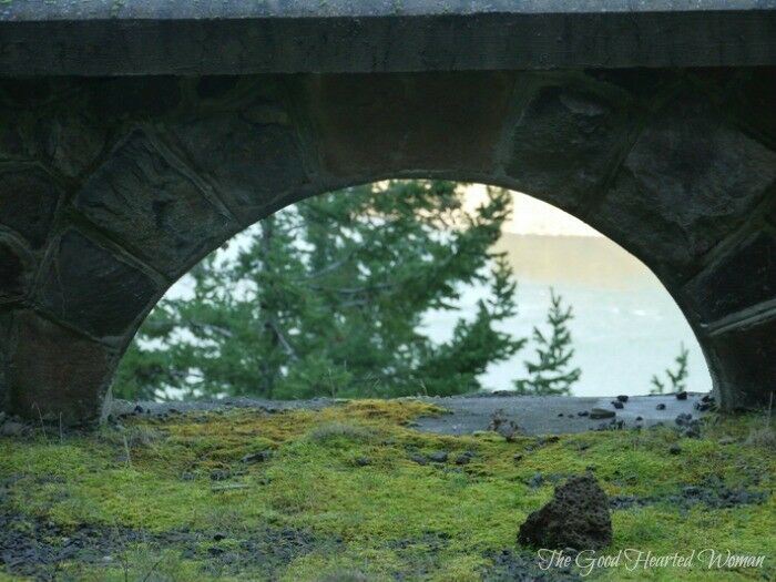
Hiking in from the Mosier side, the trail soon comes to the edge of the Gorge and turns west. Here, you’ll walk past stone guardrails and look down to a great view of Eighteen Mile Island, known locally as Chicken Charlie Island.

This 10-acre island, once owned by one Charles Reither, was significantly larger before the completion of Bonneville Dam in 1937, and was home to a chicken ranch and a small railroad. It is now the only privately owned island in the Columbia River Gorge.
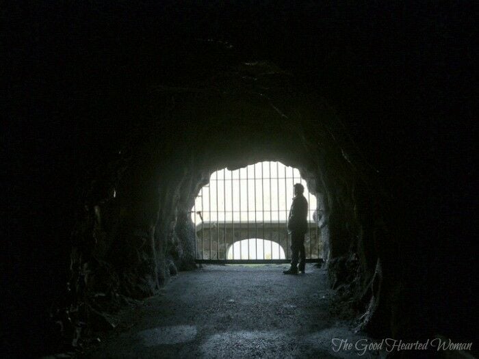
Just over a half mile into the hike, a beautiful new stone-walled lookout has been built over the Columbia River, and a short distance past the lookout is the east portal of the east tunnel. The entrance to the Eastern Portal has been restored to very much the same as it was nearly 100 years ago (pavement and cement curbs notwithstanding).
The second tunnel has two windows, known as adits, looking out over the river. There are steps that once led to viewpoints, but these are now blocked to the public. They make for some cool images though.
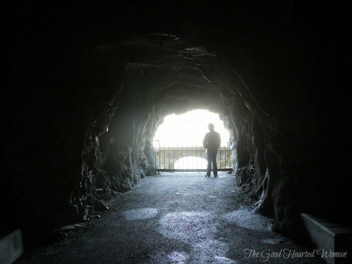
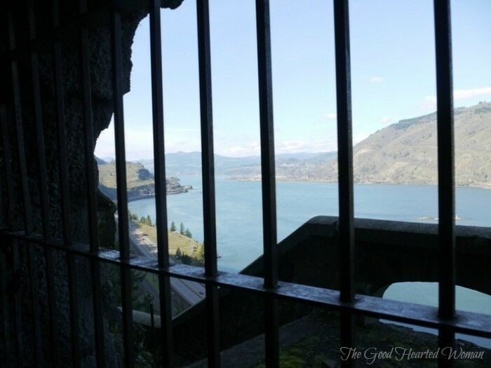
Beyond the tunnels, the trail continues another 3.5 miles to the Mark O. Hatfield West Trailhead, near Hood River.
This hike was a beautiful way to end our weekend, and a great way to kick off the hiking season here in the Pacific Northwest. Hopefully we will see you on the trail soon!
How to Get There
Mark O. Hatfield East Trailhead: (Starting from the Mosier side - 1.1 miles to Twin Tunnels)
From I-84 take Exit 69/Mosier. Follow the Historic Columbia River Highway as it curves left toward the town of Mosier. At the base of the bridge, turn left and circle under the bridge. Drive approximately 1 mile to the trailhead parking lot, which is clearly marked on the left. The actual trailhead is about a football field away from the parking lot.
Mark O. Hatfield West Trailhead: (Starting from the Hood River side - 3.5 miles to Twin Tunnels)
From I-84 take Exit 64/Highway 35, White Salmon & Government Camp. After exiting, turn right at the stop sign and then make another right turn. Head up for 0.4 miles to a four-way intersection and turn left toward the Historic Highway State Park. Wind up the hill for 1.2 miles and turn left into the parking area at Mark O. Hatfield Western Trailhead.
For more information on hiking in the Columbia River Gorge, visit:
- Friends of the Gorge
- Curious Gorge – This is a limited online version of the book by the same name, listing 109 different Gorge hikes. In an effort to encourage readers to purchase the actual book, specific hike info is blacked out on this site, but it still gives you a lot of history about each hike, some lovely images, and a pretty good idea of what to expect.
- Cascade Ramblings - Nice maps and hike basics here.

Want More Free Recipes?
Subscribe to our newsletter to get family-friendly recipes and cozy living ideas in your inbox each week!
Find us on Instagram, Pinterest, and Facebook, too.
Thank you for visiting the Good Hearted Woman. Remember to bookmark this site, and come back soon!




Beth L says
The old Mosier postmaster, Willis Goldstein, once took my 6th grade class up there back before the tunnels were opened. There’s a Native American site up that way that he took us through. Really cool up there. Willis knew so much about the area sad he’s gone all that history lost. Beautiful mini hike to the tunnels, highly recommend it.
Renée says
Sounds fascinating! I've taken a number of Gorge hikes with folks who knew far more about the area than I, and it's always been such an amazing learning experience.
Tracy says
Wow, I didn't know about this trail. My husband and I will definitely check it out, since we love to hike, as well as bike. Nice photos of our beautiful gorge.
Monica Louie says
Wow! What beautiful photos! It looks like a fun hike. I appreciate the historical information and the travel directions. Will save this for future travel ideas. 🙂
Bill Volckening says
What a great place! I'll have to check it out some day.
Pech says
I've never done this little hike, I should definitely look into this the next time I'm in the gorge. I've heard of the rock windows, but had no idea where they were!!
Bea says
We love the gorge as well and took this walk early last summer; the views are so magnificent from the tunnels. Great pictures ~ I do think that it is more popular with bikers as well